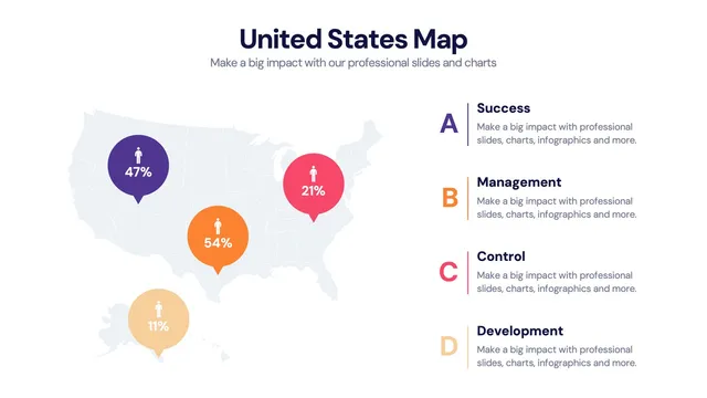
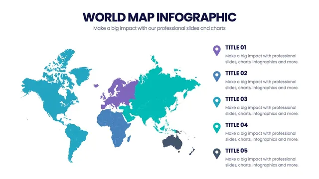
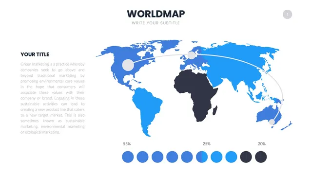
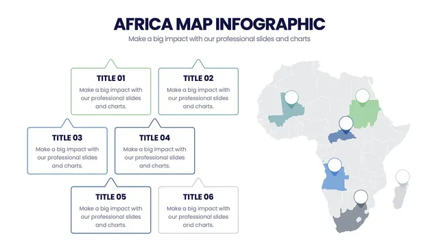
Use the full-country map for national overviews, the regional breakdown for east-west or by-region analysis, the heat-map layout for density and intensity reporting, and the state-callout layout when individual states need the spotlight.
Each design preserves the geographic accuracy presenters expect while leaving room for the labels that explain what the picture means.
Open the file and update labels, colors, and highlighted states in minutes. A solid fit for sales territory reviews, market expansion plans, US-centered economic decks, classroom geography lessons, and any moment when the audience needs to see how data spreads across the country.