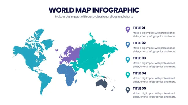
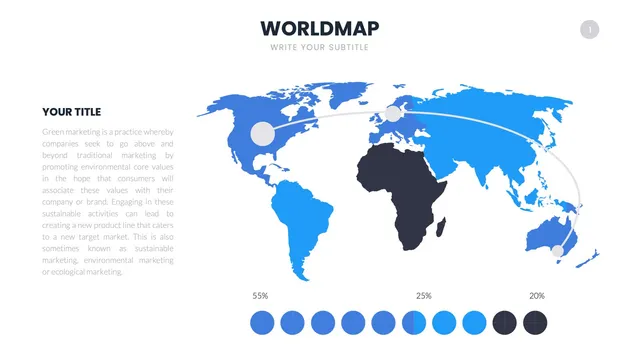
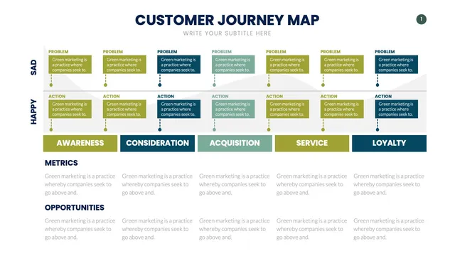
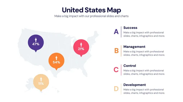
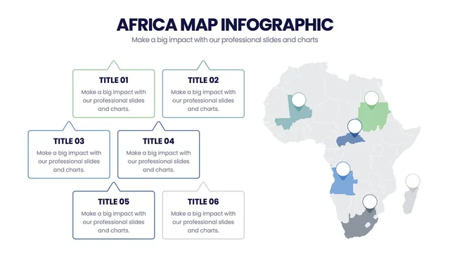
Use the full-world map for international overviews, the continent-by-continent breakdown for regional analysis, the heat-map layout for density and trend reporting, and the country-callout layout when specific markets need the spotlight.
Each design preserves the geographic accuracy a presenter expects while leaving room for labels that explain what the picture actually means.
Open the file and update labels, colors, and highlighted regions in minutes. A solid fit for global sales reviews, international market expansion decks, world-news briefings, geography lessons, and any moment when the audience needs the world's story told well.